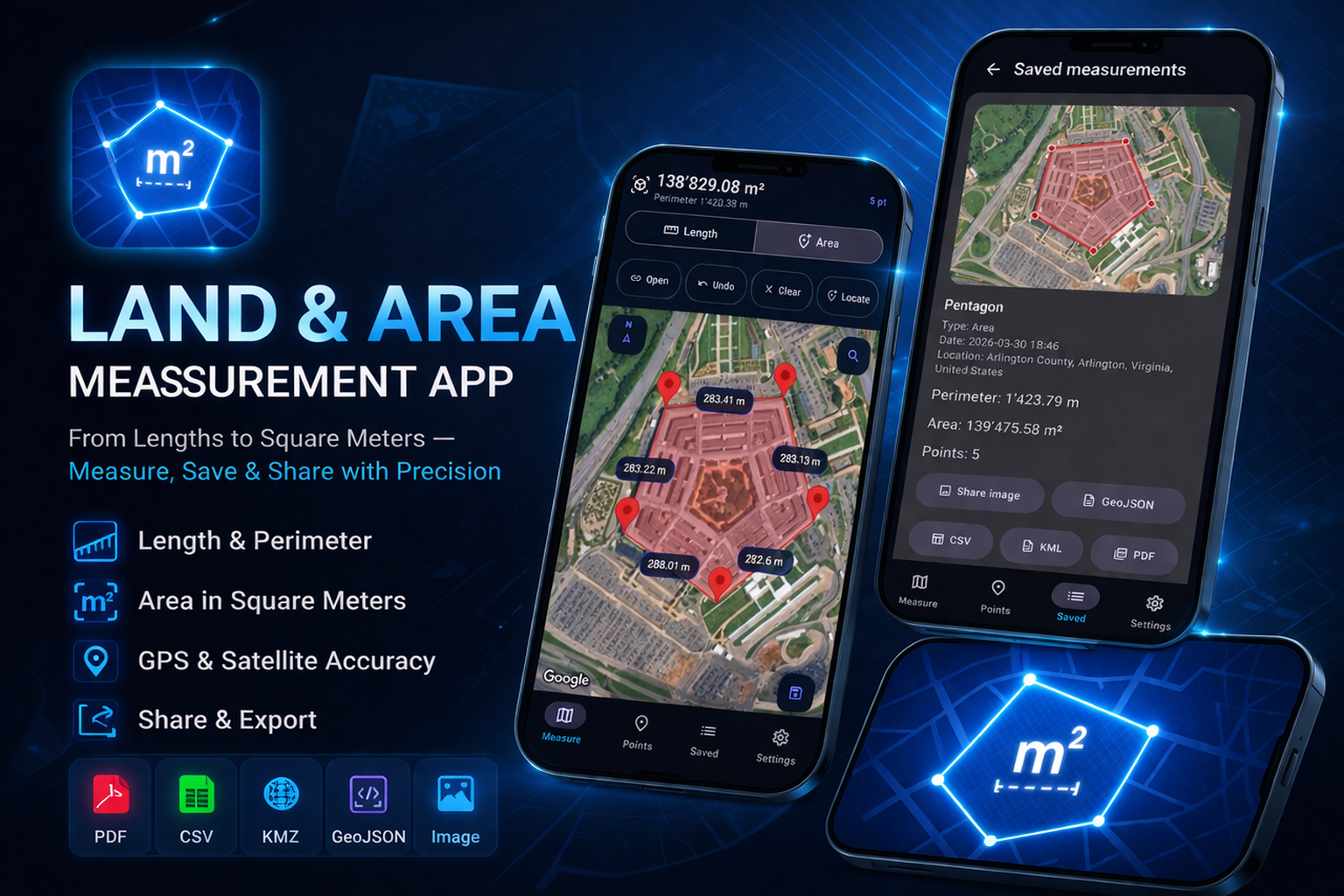
Measure on the map — save, export & share
Measure distances. Calculate areas. Export your map work.
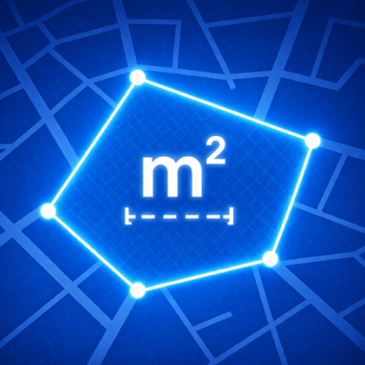
Topometria - Distance & Area
A professional map measurement app for fast, accurate distance and area calculations directly on the map.
Measure open paths, closed shapes, land outlines, routes, property edges, work zones, and real-world surfaces with a clean practical workflow.
1K+
Downloads
PEGI 3
Content rating
Productivity
Category
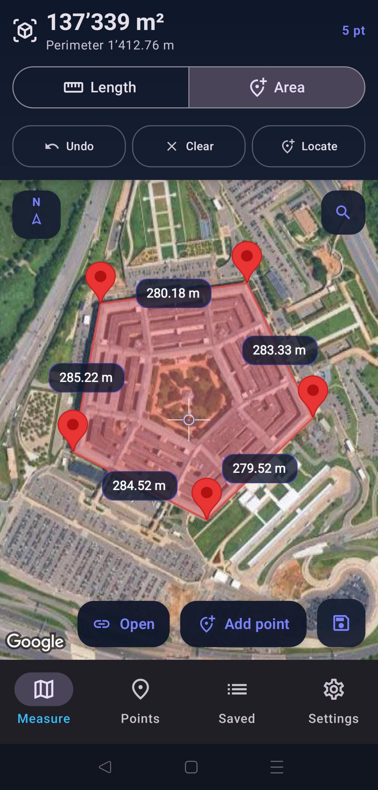
📏 Distance & area
Measure paths and surfaces directly on the map for quick estimates or detailed measurement records.
🔺 Open or closed shapes
Create open paths for routes or closed polygons for land outlines, property edges, and work zones.
🎯 Precise point placement
Use a fixed crosshair and button workflow for accurate point allocation and refined measurements.
🧭 Search & orientation
Search places, use search history and suggestions, and navigate with compass and map controls.
🗺️ Multiple map types
Choose map views including Hybrid, and select from multiple distance and area units.
📤 Export & share
Export measurements as PDF, CSV, KML, and GeoJSON, or share saved measurements with preview images.
Updated on Google Play: April 12, 2026. Ratings can be enabled below once they appear on the listing.
Feature graphic
Google Play
Main app view
Click to preview
Scroll or let it play
Export formats
Built for sharing
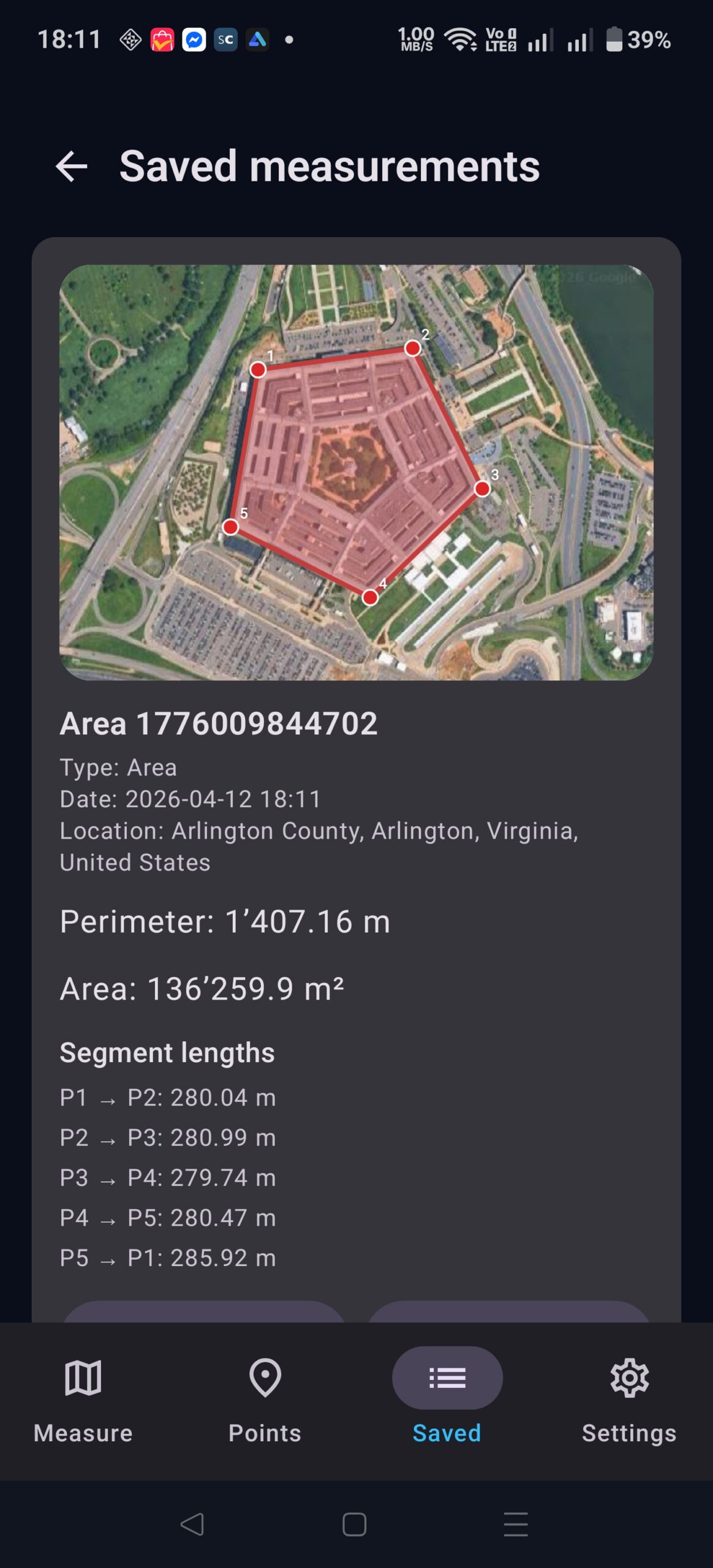
Save your measurements for later review and export your work in practical formats for reports, GIS workflows, archives, and field documentation.
PDF
CSV
KML
GeoJSON
What you get
Editable points & segment lengths
Refine measurement points and view segment distances between points for clearer measurement records.
Place search with history
Quickly move to a location using search, suggestions, and saved search history.
Compass & map controls
Stay oriented during field checks and switch map types for the view that best fits the task.
Saved previews
Keep saved measurements with preview images and share them when you need to document or communicate results.
Ideal for
Land, field work & planning
Land measurement • Site checks • Route review • Outdoor projects • Everyday map-based calculations
What’s new
Latest release
- Fixed crosshair and button workflow for more precise point allocation.
- Search history and suggestions added to map search.
- Hybrid map type added in Settings.
- PDF/shared images include points, segment lengths, and coordinates.
- Improved GeoJSON, CSV, and KML export data.